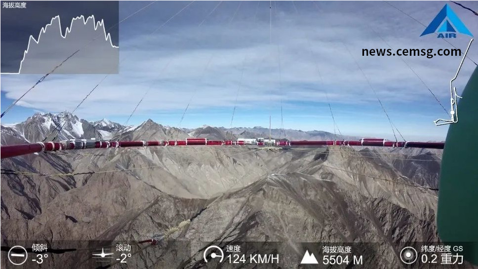
China's first airborne magnetotelluric detection system was successfully applied

According to the Institute of Space Information Innovation of the Chinese Academy of Sciences, China's first helicopter-based aeromagnetotelluric detection system developed by the institute has been successfully applied in engineering, completing geological survey tasks in areas with high altitudes of 5,000 meters and complex terrain.
It is understood that the research team has spent 7 years to overcome a number of key technologies such as high-sensitivity magnetic field sensors, large dynamic signal reception, and aviation pod stabilization platforms, and successfully developed this helicopter-based aeromagnetotelluric detection system. Based on the natural electromagnetic field of the earth, the system can obtain the distribution of underground faults, fissures, groundwater and mineral resources through data inversion processing, and accurately delineate risk areas with potential geological safety hazards.